
Patriot Nation, the flood map is the most important document most buyers never open, and Texas gives you more reasons than most states to open it early. Here is what the zones mean, what the insurance costs, and the five-minute check that belongs before you write an offer.
Found a home near a creek or river? Check the zone with me first.
I walk buyers through the flood determination and the insurance line in the budget before we write an offer, so the payment you plan is the payment you pay.
The zones, in plain English
FEMA maps divide the country into probability bands, and the two letters that matter for most buyers:
- Zone AE: inside the 100-year floodplain, meaning a 1% annual chance of flooding, with a published base flood elevation. Flood insurance is mandatory for federally backed mortgages, and the elevation drives the premium.
- Shaded Zone X (X500): the 500-year floodplain, a 0.2% annual chance. Insurance is optional, not lender-required, and still worth considering.
- Unshaded Zone X: minimal flood risk, outside the 500-year band. Insurance optional, and most buyers skip it.
About 26% of homes in a 100-year zone flood at least once over a 30-year mortgage, and about 6% in a 500-year zone do. Those two numbers are why the "100-year" name misleads everyone, it is a 1% annual chance, not a once-a-century guarantee, and Texas weather does not read labels.
What flood insurance costs in Texas
Typical ranges, not a quote
Federal NFIP pricing varies by property, elevation, and coverage under Risk Rating 2.0; quotes come from an agent. The band shows the shape of the cost, not your exact premium.
That $70 or so a month in a high-risk zone belongs in your housing budget before you commit to a payment, not after, and it is separate from homeowners insurance. The San Antonio insurance guide helps you plan the full insurance stack.
Plan the insurance into the payment before you fall in love.
A $70 a month flood premium is a small line with a huge consequence for your budget and your protection. I put it in the math on day one.
How to check a property before you offer
- Look up the address on FEMA's Map Service Center. Free, public, and it identifies the zone letter within minutes.
- Read the Texas seller's disclosure. Sellers disclose known flooding, and their answer plus their anecdotes says more than the map.
- Ask your agent about the neighborhood's water history. Locals know which streets pond and which crossings flood first.
- Call the local floodplain administrator. They know the drainage, the recent studies, and the pending map changes.
- Let the lender run the official flood determination. It is required anyway, and it confirms the zone for the loan file.
The lender's determination happens after you are under contract, but you want the answer before you offer, which is why steps one through four come first. My flood prevention guide covers what homeowners do after the keys land.
The Hill Country flash-flood reality
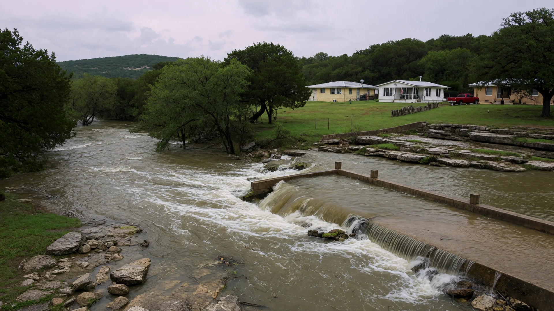
San Antonio and the Hill Country flash-flood on a schedule Texas homeowners know too well: creeks feeding the Guadalupe and Comal rivers, arroyos that run dry all year, and low-water crossings that go from passable to deadly in minutes. A home on high ground above the creek can be perfect, and the same creek half a mile away can define a property's risk. Buyers near New Braunfels, along the river corridors, or on Hill Country acreage should treat the FEMA map as the floor and local water knowledge as the ceiling.
Frequently Asked Questions
What is a 100-year flood zone? Tap to expand
What is the difference between flood zone AE and zone X? Tap to expand
Do I need flood insurance in Texas? Tap to expand
How can I check if a house is in a flood zone? Tap to expand
How do Hill Country rivers and creeks affect flood risk? Tap to expand
Know the water before you buy the view.
I help buyers check the zone, price the insurance, and build it into the budget before the offer, because a beautiful creek view should never be a surprise on the loan documents.

Patrick Kevin Fagan
Senior Mortgage Loan Officer and Texas REALTOR | AXEN Realty LLC | Greater San Antonio and Texas Hill Country
Licensed Sales Agent | 454749 | TX
Sincerely, Patrick Kevin Fagan
Flood zone probabilities and NFIP premium ranges are typical figures for education; your zone, premium, and lender requirements are confirmed on your specific property and policy.