
Patrick's Quick Answer
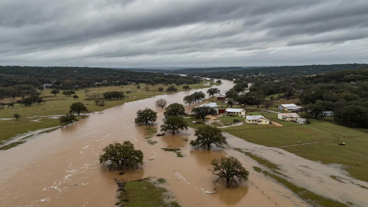
The July 2025 Central Texas floods were devastating and record-setting on the upper Guadalupe, with 136 confirmed deaths, the deadliest flooding in Kerr County, and the Guadalupe at Hunt rising 26 feet in 45 minutes to crest at 37.52 feet, its highest on record. Canyon Lake rose from about 43 to 63 percent full by July 8, 2025. But there is no authoritative neighborhood-level list of which homes in Comal, Kendall, or Guadalupe counties flooded, and I will not pretend there is. Flooding is address-specific, so the honest, official way to know a home's risk is to check that one address yourself, starting with the FEMA Flood Map Service Center.
Check a specific address
Look up the exact address on the FEMA Flood Map Service Center, the official flood map tool, or tell Patrick what you are looking for and he will help you through the check.
Buyers in the Hill Country ask me which neighborhoods flooded in July 2025, and the honest answer has two parts: what is verified about the event, and how to check any one address. Here is both, with sources and dates attached.
What is verified about the July 2025 floods
These figures are sourced to Wikipedia's July 2025 Central Texas floods article, which cites the National Weather Service, USGS, and local officials, and was accessed on September 24, 2026:
- The deadliest flooding hit the upper Guadalupe in Kerr County.
- The Guadalupe at Hunt rose 26 feet in 45 minutes and crested at 37.52 feet, the highest on record there.
- 136 confirmed deaths in total: Kerr 117, Travis 10, Burnet 5, Williamson 3, Tom Green 1.
- The primary event ran July 4-5, 2025, with a secondary round July 12-13.
- Kerrville rose 21 feet in one hour; Comfort surged nearly 27 feet in 45 minutes.
These are river and event facts. They tell you how extreme the event was, not which specific Hill Country home flooded, because flooding depends on the exact location relative to the watercourse and the terrain.
What happened at Canyon Lake
For the Canyon Lake area, the verified facts are reservoir and water-system level:
- Canyon Lake rose from about 43 percent to 63 percent full, up 12 feet to just over 889 feet, by July 8, 2025 (Texas Public Radio, July 9, 2025).
- Boil water notices went out for Canyon Lake-area communities on July 8, 2025 (KSAT).
That is not a list of which homes near the lake flooded. No authoritative neighborhood-level list exists for Comal, Kendall, or Guadalupe counties, and I will state that plainly rather than guess.
How to check one address, the official way
Because flood risk is address-specific, here is the official method to check any single property:
- FEMA Flood Map Service Center at msc.fema.gov. Enter the address to see the current FEMA flood zone.
- County floodplain permit records and GIS. For a Comal County address, check comalcounty.gov floodplain records and the county GIS for the parcel.
- CLUE claims-history report. Request a comprehensive loss underwriting exchange report from an insurer to see past property claims.
Note on maps: Comal County has preliminary FEMA flood map work underway, but the details are unverified. Check directly with Comal County Floodplain for the current status before you rely on any map, and treat any current map as a starting point, not a guarantee.
Frequently Asked Questions
Did the July 2025 floods affect Canyon Lake? Tap to expand
Is there a list of neighborhoods that flooded in July 2025? Tap to expand
How do I check whether one specific address is in a flood zone? Tap to expand
Was the July 2025 flood the worst on record in the Hill Country? Tap to expand
Is Comal County updating its flood maps? Tap to expand
Which areas around Canyon Lake are least likely to flood? Tap to expand
Do I need flood insurance in New Braunfels if I am not in a flood zone? Tap to expand
Check the address before you fall in love with the house
Look up the exact address on the FEMA Flood Map Service Center, or tell Patrick what you are looking for and he will help you run the full flood and due-diligence check on any home you are considering.
About Patrick Kevin Fagan, REALTOR®
Patrick Kevin Fagan is a Texas Real Estate Sales Agent (#454749) with AXEN Realty LLC and a Senior Loan Officer (NMLS ID #877741) with NEXA Mortgage, LLC (NMLS #1660690). He brings 23+ years in mortgage lending and 19 years in real estate, serving homebuyers, homeowners, and sellers across Greater San Antonio and the Texas Hill Country.
Answered by Patrick Kevin Fagan
Texas Real Estate Sales Agent #454749, AXEN Realty LLC · Senior Loan Officer, NMLS ID #877741, NEXA Mortgage, LLC
Call or text: 210-317-6514